Geovariances Kartotrak 2023.06.2
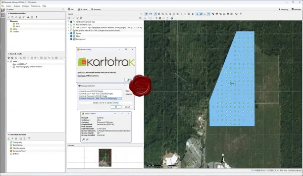
Geovariances Kartotrak 2023.06.2 is an integrated geostatistics-driven software platform designed to turn complex contaminated site data into clear, actionable insights for environmental assessment and remediation.
It guides users through a complete workflow — from exploratory data analysis and quality control to 2D/3D mapping and statistical modeling — with intuitive visualization and GIS-style tools.
Kartotrak empowers teams to optimize sampling strategies, quantify polluted volumes and pollutant masses, and assess risk with robust geostatistical methods like kriging and variance mapping.
By linking spatial data, borehole measurements, and multiple contamination thresholds, the software helps prioritize remediation choices and refine excavation plans.
Whether used on site with real-time inputs or in-office for deep analysis, Kartotrak’s workflow accelerates decision making and enhances confidence in cleanup strategies.
401MB
Download
🔒 Upgrade
Geovariances Kartotrak 2023.06.2 is an integrated geostatistics-driven software platform designed to turn complex contaminated site data into clear, actionable insights for environmental assessment and remediation.
It guides users through a complete workflow — from exploratory data analysis and quality control to 2D/3D mapping and statistical modeling — with intuitive visualization and GIS-style tools.
Kartotrak empowers teams to optimize sampling strategies, quantify polluted volumes and pollutant masses, and assess risk with robust geostatistical methods like kriging and variance mapping.
By linking spatial data, borehole measurements, and multiple contamination thresholds, the software helps prioritize remediation choices and refine excavation plans.
Whether used on site with real-time inputs or in-office for deep analysis, Kartotrak’s workflow accelerates decision making and enhances confidence in cleanup strategies.
401MB
Download
🔒 Upgrade