
IDRISI TerrSet 19.00 Clark Labs
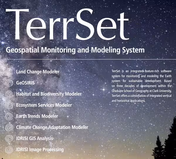
TerrSet is an integrated geospatial software system for monitoring and modeling the earth system for sustainable development. The TerrSet System incorporates the IDRISI GIS Analysis and IDRISI Image Processing tools along with a constellation of vertical applications
Size: 680 MB
Download
http://s9.alxa.net/one/2025/07/Idris...20.v19.0.6.rar