Envi 5.6
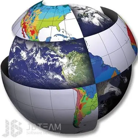
ENVI 5.6 is a leading geospatial image processing and remote sensing software used for analyzing satellite, aerial, hyperspectral, and multispectral imagery. It provides advanced tools for image classification, feature extraction, spectral analysis, change detection, and GIS integration, helping professionals transform raw imagery into actionable information. Version 5.6 introduces performance improvements, enhanced ArcGIS integration, ENVI Server support for distributed processing, and new tools for large-scale geospatial analysis and environmental monitoring.
Each premium member can only have one key
Lifetime account holders can get five
Install
Apply the crack
Run the program
Post HWID
Installation video included
1.63GB
Download
*