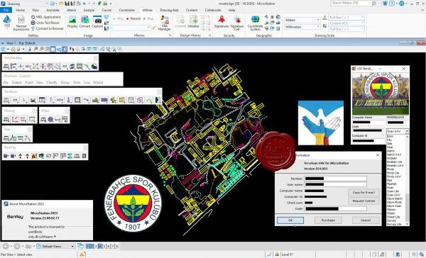
Terrasolid Spatix & Microstation Suite v24 build 2024, March
The Finnish company Terrasolid, founded in 1989, is a recognized world leader in the market of software designed for processing airborne and mobile laser scanning data. Terrasolid has been developing and implementing laser data processing algorithms since the mid-90s of the last century - in fact, since the advent of the first industrial scanning systems.
De facto, at the moment more than 80% of providers from more than 90 countries offering their services in the field of surveying and post-processing of laser data use Terrasolid software products.
The Terrasolid family of modules provides solutions to almost the entire range of technological problems that arise both during the shooting process and in the process of office processing of the received data - from project preparation to the formation of final products. Terrasolid uses Bentley Systems software products as the platform for its applications, which provide the highest performance in the CAD market.
TerraScan – Software for LiDAR Data Processing and 3D Vector Data Creation
TerraScan is the base module of the Terrasolid software product family. It is designed to visualize and process clouds of 3D laser reflections - both automatically and manually.
TerraModeler – Surface Modeling and Terrain Mapping
TerraModeler is a full-featured tool for modeling, analyzing and editing surfaces represented as an irregular triangulation network (TIN)
TerraPhoto – Ortho-rectification of Images and Data Visualization
TerraPhoto is a photogrammetric module of the Terrasolid product family. It is designed to solve problems of processing photo data obtained during laser scanning together with laser reflections.
TerraMatch - Calibration and Strip Adjustment
The TerraMatch module is designed to perform calibration of an airborne or mobile scanning system based on the results of calibration flights/rides, as well as correction of the results of operational surveys in order to improve the accuracy of the final product.
TerraSurvey - Using Data from Total Stations and GPS Devices
TerraSurvey is a module that processes ground-based tacheometric survey data. The module allows you to import data from all common file formats. All imported data can be encoded in any way.
TerraSlave - More Capacity due to Distributed Batch Processing
TerraStereo - Sophisticated Visualization of Very Large Point Clouds
TerraStreet and TerraStreet Lite - Designing Roads
TerraPipe, TerraPipeNet, TerraGas and TerraHeat - Design and Maintain Pipelines
File Size: 372 MB
Download
*
