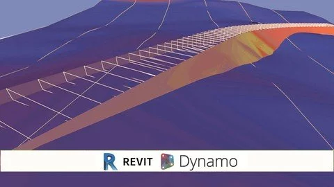
Autodesk Infraworks, Civil3D, Revit And Dynamo
Using workflows and interactions to create topography, excavations, and landscape BIM Models.
What you'll learn
How to set a coordinated environment for the three applications to run smoothly and can handle topography and roads.
How to use Revit with Dynamo for Roads, Bridges, and Landscape.
How to draw review roads and altitude tables to improve results.
Use dynamo for distance review and other uses topography related.
Requirements
A Computer to accomplish the recommended exercises
Need to install a trial of Autodesk Revit 2018 , Infraworks, any Civil 3d version and Dynamo 1.3 on the Computer
Need to know how to create basic models for Construction
Need to know general creation processes of Infraworks, and Civil 3d.
Need to know how Dynamo basic concepts and Script creation
Description
This course it’s designed to teach you how to create topography, excavations and landscape BIM Models, using several tools from the Autodesk Suite. BIM it’s on a deep expansion for the AEC (Architecture, Engineering and Construction) Industry so each time more and more projects are developed over this methodology changing the quality standards for construction and design.
In this case we will work with BIM meshes within infraworks, Civil 3d and Revit to transform terrain and work with it to have an accurate and complete model that will include excavations, land forming, landscape, and roads on Revit with the engineering processes of Infraworks and Civil 3d.
The Program is quite simple will start with infraworks extraction and topography use, extract to civil 3d and then inserted to Revit, using Civil Drawings or Revit Model Lines we will create the General Building Pads, and with Dynamo we will start with several routines to create land works so we can manage volumes as irregular blocks set slopes on roads, and set excavation values properly for simulation / Quantities Then we will learn how to send it back to Infraworks for modeling overview.
The course has a complementary exercise so you can create your own model and start using everything together on your model. It won’t go deeper on Infraworks, Civil or Revit Modeling Tools since it’s an intermediate modeling course. The materials include the scripts saw on the course plus the Custom Nodes created specifically for it.
Are you tired of taking courses that go to fast with a lot of content? Don’t worry go at your own pace, jump between sections for certain topics, the access is for lifetime. Also, we have a direct response for any topic listed, so we can improve the content. Be the first to know of future courses regarding BIM, take advantage of all the opportunities that may appear and use it to improve your work performance and get better job positions.
Overview
Section 1: Introduction
Lecture 1 Welcome to the Course
Section 2: Integration and Coordinate Systems
Lecture 2 Setting the workspace Infraworks Civil 3d and Revit
Lecture 3 Sending Files Between Software
Section 3: What to Model Where
Lecture 4 Infraworks Modeling Bullet Points
Lecture 5 Civil 3d Modeling Bullet Points
Lecture 6 Revit Modeling Limits regarding topography and Site
Section 4: Dynamo Revit Workflows
Lecture 7 Surface from topography
Lecture 8 Create lines over topography
Lecture 9 Create lines over Pads
Lecture 10 Create Roads with Guide Lines
Lecture 11 Copy floors over road borders
Lecture 12 Create floors to overlap topography
Lecture 13 Create Building Pad on lower heigth of road
Lecture 14 Create Excavations and Fillings From Model
Lecture 15 Import Masses from SAT To Revit
Lecture 16 Building Pads for Topography
Section 5: Bring everything Back to Infraworks
Lecture 17 Import Revit Models with all elements
Lecture 18 Course Resources
Lecture 19 Course Exercise
Lecture 20 Infraworks File
Builders, Engineers, Constructors, Civil Engineers and Architects that want to create terrain models, with excavations and need to quantify their results.,Constructors, Engineers and Architects that want to take their Infraworks, Civil 3d and Revit Skills with Dynamo Routines.,Designers who want to blow up their client’s expectation using visibility of context, roads and terrains.
Last updated 9/2017
MP4 | Video: h264, 1280x720 | Audio: AAC, 44.1 KHz
Language: English | Size: 1.2 GB | Duration: 2h 21m
Download
http://s6.alxa.net/one/2022/08/Auto...and.Dynamo.rar