البرنامج قديم لكن لايزال مطلوب لبعض الاخوة الاعضاء ولذلك تم رفعه الى سرفر البوابة
Intergraph GeoMedia 6.1 Pro

GeoMedia is a powerful GIS management package that enables you to realize the maximum value of your geospatial resources, integrating them to present clear, actionable information. It provides simultaneous access to geospatial data in almost any form, uniting them in a single map view for efficient processing, capture and maintenance, analysis, presentation, and sharing. GeoMedia's intuitive, dynamic analysis functionality enables concatenation of analysis processes so the results of one operation feed directly into the next process, as well as automatic updating of results in response to data changes.
GeoMedia's stable, robust technology is actively in use in organizations throughout the world. Whether your organization has a single user or hundreds distributed across the enterprise, GeoMedia's flexible architecture maintains a high degree of performance and reliably meets your demands. With smart data capture and validation tools, GeoMedia provides rapid creation of quality data. Advanced labeling and symbolization also ensure that GeoMedia can generate professional quality cartographic map products.
Capitalize on the coordination between GeoMedia and ERDAS IMAGINE, the world's leading geospatial data authoring system, to create vector layers based on accurately processed raster imagery. Based on standards from the Open Geospatial Consortium (OGC) and International Standards Organization (ISO), GeoMedia integrates well with many other existing business systems to easily introduce location-based information to your workflows.
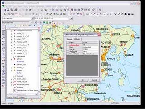
فيديو حول البرنامج
174MB
http://s19.alxa.net/s8/srvs7/009/Inte...ia.6.1.Pro.rar