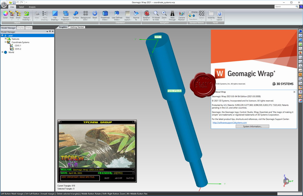
3D Systems Geomagic Wrap 2021.0
Geomagic Wrap provides the easiest-to-use, affordable, fastest and most accurate way to transition from point clouds to 3D polygon models. Geomagic Wrap transforms point cloud and sensor data into 3D polygon meshes for use in manufacturing, engineering, entertainment, archeology, and analytics.
Intelligent, automated and flexible, Geomagic Wrap delivers best practice and the highest quality 3D scanned data with high accuracy and productivity.

Very fast creation of 3D models for further use such as 3D printing, archiving and transfer to visual effects, rendering and for use in other systems. Improved editing, navigation and visualization of point clouds from mid- and long-range scanners to create real 3D models improves understanding and presentation of data. Quickly and accurately create 2D and 3D elements directly from sensor data, easily integrating with data from other sources. Automated tools for point cloud positioning, cleaning and surface creation. Very fast processing of dense data to ensure fast creation and use of even large models. A robust scripting environment allows you to extend, customize and automate functions with deep access to selected software commands.
3D Systems Geomagic Wrap 2021.0
Geomagic Wrap provides the easiest-to-use, affordable, fastest and most accurate way to transition from point clouds to 3D polygon models. Geomagic Wrap transforms point cloud and sensor data into 3D polygon meshes for use in manufacturing, engineering, entertainment, archeology, and analytics.
Intelligent, automated and flexible, Geomagic Wrap delivers best practice and the highest quality 3D scanned data with high accuracy and productivity.
Very fast creation of 3D models for further use such as 3D printing, archiving and transfer to visual effects, rendering and for use in other systems.
Improved editing, navigation and visualization of point clouds from mid- and long-range scanners to create real 3D models improves understanding and presentation of data.
Quickly and accurately create 2D and 3D elements directly from sensor data, easily integrating with data from other sources.
Automated tools for point cloud positioning, cleaning and surface creation.
Very fast processing of dense data to ensure fast creation and use of even large models.
A robust scripting environment allows you to extend, customize and automate functions with deep access to selected software commands.
Support for all standard 3D formats and export to these formats for fast reuse of high quality 3D measurements in design, rendering, prototyping, archiving, etc.
Export polygon models to various file formats including STL, OBJ, VRML, DXF, PLY and 3DS.
Output to 3D PDF format, in which fully embedded 3D working models can be viewed (PDF document now supports PRC format).
Whats new
Size: 717 MB
Download
http://s6.alxa.net/one/2021/09/3DSy...rap.2021.0.rar
Geomagic Wrap provides the easiest-to-use, affordable, fastest and most accurate way to transition from point clouds to 3D polygon models. Geomagic Wrap transforms point cloud and sensor data into 3D polygon meshes for use in manufacturing, engineering, entertainment, archeology, and analytics.
Intelligent, automated and flexible, Geomagic Wrap delivers best practice and the highest quality 3D scanned data with high accuracy and productivity.

Very fast creation of 3D models for further use such as 3D printing, archiving and transfer to visual effects, rendering and for use in other systems. Improved editing, navigation and visualization of point clouds from mid- and long-range scanners to create real 3D models improves understanding and presentation of data. Quickly and accurately create 2D and 3D elements directly from sensor data, easily integrating with data from other sources. Automated tools for point cloud positioning, cleaning and surface creation. Very fast processing of dense data to ensure fast creation and use of even large models. A robust scripting environment allows you to extend, customize and automate functions with deep access to selected software commands.
3D Systems Geomagic Wrap 2021.0
Geomagic Wrap provides the easiest-to-use, affordable, fastest and most accurate way to transition from point clouds to 3D polygon models. Geomagic Wrap transforms point cloud and sensor data into 3D polygon meshes for use in manufacturing, engineering, entertainment, archeology, and analytics.
Intelligent, automated and flexible, Geomagic Wrap delivers best practice and the highest quality 3D scanned data with high accuracy and productivity.
Very fast creation of 3D models for further use such as 3D printing, archiving and transfer to visual effects, rendering and for use in other systems.
Improved editing, navigation and visualization of point clouds from mid- and long-range scanners to create real 3D models improves understanding and presentation of data.
Quickly and accurately create 2D and 3D elements directly from sensor data, easily integrating with data from other sources.
Automated tools for point cloud positioning, cleaning and surface creation.
Very fast processing of dense data to ensure fast creation and use of even large models.
A robust scripting environment allows you to extend, customize and automate functions with deep access to selected software commands.
Support for all standard 3D formats and export to these formats for fast reuse of high quality 3D measurements in design, rendering, prototyping, archiving, etc.
Export polygon models to various file formats including STL, OBJ, VRML, DXF, PLY and 3DS.
Output to 3D PDF format, in which fully embedded 3D working models can be viewed (PDF document now supports PRC format).
Whats new
Size: 717 MB
Download
http://s6.alxa.net/one/2021/09/3DSy...rap.2021.0.rar