منذ عام 1992 اعتمد رسامي الخرائط في جميع أنحاء العالم على جيوكارت لإنشاء خرائطهم الأساسية. توفر شركة Geocart أدوات قوية وبديهية لإعداد الخرائط المتجهة والخطوط النقطية على مجموعة متنوعة من إسقاطات الخرائط المدهشة. لا شيء آخر مثل ذلك.
Mapthematics GeoCart 3.2.0 x64
Since 1992 mapmakers worldwide have relied on Geocart to create their base maps. Geocart supplies powerful, intuitive tools for preparing vector and raster maps on a breathtaking variety of map projections. Nothing else like it exists.
Geocart is for:
Cartographers
Earth sciences researchers
Mapping companies
Geography students
Map enthusiasts
Graphic artists
Technical illustrators
Publishers
PRECISION
Raster rendering quality unavailable anywhere else at any price
Standard and custom datums and ellipsoids
Automatic datum shifts when database datum does not match projection datum
Custom screen resolution settings for correctly scaled maps
Improved projection formulations compared to Geocart 2
Innovative distortion visualization
PRODUCTIVITY
High-performance zoom and pan (5%-4,000%)
Selectable document and object units: mm, cm, inches, points
Draft, Proof, Final quality modes for raster rending to choose your trade-off between speed and quality.
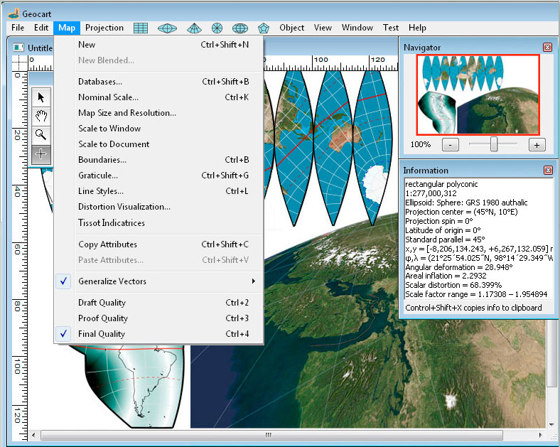
Multiple views into a single document possible, plus a navigator and information panels
Multi-step undo, with undo history depth set by preference
PLAYING WELL WITH OTHERS
Import TIFF/JPEG/Photoshop native image data for static viewing or for reprojection
Shapefile import of point/line databases in "geographic" coordinates.
Export TIFF/JPEG/PDF/Photoshop native format - with or without transparency
Photoshop large document support for images exceeding TIFF limits: 30,000 x 30,000 pixels
Operating System: Windows Vista, 7, 8, 10 as 64-bit native application
Geocart is for:
Cartographers
Earth sciences researchers
Mapping companies
Geography students
Map enthusiasts
Graphic artists
Technical illustrators
Publishers
PRECISION
Raster rendering quality unavailable anywhere else at any price
Standard and custom datums and ellipsoids
Automatic datum shifts when database datum does not match projection datum
Custom screen resolution settings for correctly scaled maps
Improved projection formulations compared to Geocart 2
Innovative distortion visualization
PRODUCTIVITY
High-performance zoom and pan (5%-4,000%)
Selectable document and object units: mm, cm, inches, points
Draft, Proof, Final quality modes for raster rending to choose your trade-off between speed and quality.
Multiple views into a single document possible, plus a navigator and information panels
Multi-step undo, with undo history depth set by preference
PLAYING WELL WITH OTHERS
Import TIFF/JPEG/Photoshop native image data for static viewing or for reprojection
Shapefile import of point/line databases in "geographic" coordinates.
Export TIFF/JPEG/PDF/Photoshop native format - with or without transparency
Photoshop large document support for images exceeding TIFF limits: 30,000 x 30,000 pixels
Operating System: Windows Vista, 7, 8, 10 as 64-bit native application
84.8MB
تحميل أحدث اصدار من هنا
Mapthematics GeoCart 3.3.5 (x64)