Autodesk Civil 3D 6 KM Practically Complete Road Design
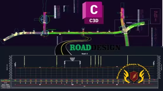
Autodesk Civil 3D 6 KM Practically Complete Road Design Project
What you'll learn
⚡ Import survey points and configure point settings in Civil 3D for topographic data
⚡ Create and edit TIN surfaces from survey point data
⚡ Design horizontal alignments and vertical profiles for road corridors
⚡ Build assemblies and generate corridor models with connected alignments
⚡ Work with sample lines to produce multiple cross sections along a corridor
⚡ Compute cut/fill material volumes using Civil 3D's quantity takeoff tools
⚡ Generate corridor surfaces and cross-section sheet layouts for construction documentation
Requirements
❗ A licensed copy of AutoCAD Civil 3D installed (2019–2024 recommended)
❗ Basic familiarity with AutoCAD interface (drawing, editing, layers) is helpful but not required
❗ No prior surveying or road design experience needed — all core concepts are explained from scratch
Description
Forget flat tutorials that just click through menus. This course puts you inside a real road design workflow — the same one engineers use to plan highways across mountains, deserts, and everything in between.
You'll start with raw survey points scattered across a job site and end with a fully modeled road corridor, complete with cross sections and material volume reports ready for construction. No fluff, no filler — every lecture mirrors an actual step in a live infrastructure project.
You'll import and clean survey data, build accurate terrain surfaces, and design alignments and profiles that respect real-world constraints like slope and drainage. From there, you'll construct assemblies, generate corridors, and connect alignments the way production teams do it — not the simplified textbook version.
The final stretch is where most courses stop short: sample lines, multiple cross sections, and material volume calculations — the exact deliverables consultants and contractors demand before a single shovel hits the ground.
By the end, you won't just know Civil 3D commands. You'll understand how a road gets designed from scratch, and you'll have the workflow to prove it — whether you're chasing a design job, a promotion, or your first freelance contract.
Build roads. Build skills. Build your future.
Who this course is for
⭐ Civil engineering students and graduates wanting practical, real-world Civil 3D skills
⭐ Land surveyors and survey technicians looking to move into digital terrain modeling and road design
⭐ Civil/highway design engineers who want to master corridor modeling, cross sections, and volume calculations
⭐ Anyone preparing for a career in road/highway design using Autodesk Civil 3D
Published 8/2026
Created by Murad Farooq Jan
MP4 | Video: h264, 2560x1440 | Audio: AAC, 44.1 KHz, 2 Ch
Level: All Levels | Genre: eLearning | Language: English | Duration: 20 Lectures ( 3h 41m ) | Size: 4.33 GB
Download
🔒 Go Premium to Unlock
Autodesk Civil 3D 6 KM Practically Complete Road Design Project
What you'll learn
⚡ Import survey points and configure point settings in Civil 3D for topographic data
⚡ Create and edit TIN surfaces from survey point data
⚡ Design horizontal alignments and vertical profiles for road corridors
⚡ Build assemblies and generate corridor models with connected alignments
⚡ Work with sample lines to produce multiple cross sections along a corridor
⚡ Compute cut/fill material volumes using Civil 3D's quantity takeoff tools
⚡ Generate corridor surfaces and cross-section sheet layouts for construction documentation
Requirements
❗ A licensed copy of AutoCAD Civil 3D installed (2019–2024 recommended)
❗ Basic familiarity with AutoCAD interface (drawing, editing, layers) is helpful but not required
❗ No prior surveying or road design experience needed — all core concepts are explained from scratch
Description
Forget flat tutorials that just click through menus. This course puts you inside a real road design workflow — the same one engineers use to plan highways across mountains, deserts, and everything in between.
You'll start with raw survey points scattered across a job site and end with a fully modeled road corridor, complete with cross sections and material volume reports ready for construction. No fluff, no filler — every lecture mirrors an actual step in a live infrastructure project.
You'll import and clean survey data, build accurate terrain surfaces, and design alignments and profiles that respect real-world constraints like slope and drainage. From there, you'll construct assemblies, generate corridors, and connect alignments the way production teams do it — not the simplified textbook version.
The final stretch is where most courses stop short: sample lines, multiple cross sections, and material volume calculations — the exact deliverables consultants and contractors demand before a single shovel hits the ground.
By the end, you won't just know Civil 3D commands. You'll understand how a road gets designed from scratch, and you'll have the workflow to prove it — whether you're chasing a design job, a promotion, or your first freelance contract.
Build roads. Build skills. Build your future.
Who this course is for
⭐ Civil engineering students and graduates wanting practical, real-world Civil 3D skills
⭐ Land surveyors and survey technicians looking to move into digital terrain modeling and road design
⭐ Civil/highway design engineers who want to master corridor modeling, cross sections, and volume calculations
⭐ Anyone preparing for a career in road/highway design using Autodesk Civil 3D
Published 8/2026
Created by Murad Farooq Jan
MP4 | Video: h264, 2560x1440 | Audio: AAC, 44.1 KHz, 2 Ch
Level: All Levels | Genre: eLearning | Language: English | Duration: 20 Lectures ( 3h 41m ) | Size: 4.33 GB
Download
🔒 Go Premium to Unlock