GreenValley LiDAR360 v5.2.2 portable
LiDAR360 is a software platform for processing and analyzing point clouds obtained by laser scanning, including algorithms for alignment, classification, visualization, editing, vectorization, and CAD/GIS integration.
The program supports the use of artificial intelligence/machine learning for automatic point classification (e.g., distinguishing surfaces, vegetation, buildings, etc.).
Modules and extensions are available for various application areas: terrain, forest cover, power lines, mining, urban planning, etc.
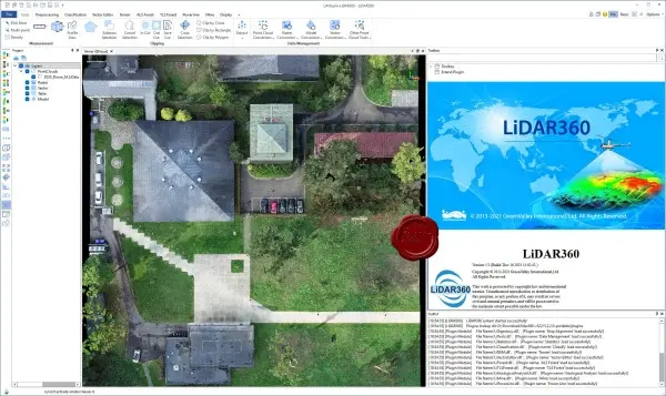
Some areas of LiDAR360 use:
Topographic surveying (creation of digital surface models and contours).
Forestry: calculation of tree heights, biomass volumes, individual tree identification.
Infrastructure and utilities: power line analysis, hazard detection.
Mining and quarrying: monitoring excavations and volume changes.
Urban modeling and digital twins.
Fusion of LiDAR and photo data to create textured 3D models.
Size: 896 MB
Download
🔒 Go Premium to Unlock
LiDAR360 is a software platform for processing and analyzing point clouds obtained by laser scanning, including algorithms for alignment, classification, visualization, editing, vectorization, and CAD/GIS integration.
The program supports the use of artificial intelligence/machine learning for automatic point classification (e.g., distinguishing surfaces, vegetation, buildings, etc.).
Modules and extensions are available for various application areas: terrain, forest cover, power lines, mining, urban planning, etc.
Some areas of LiDAR360 use:
Topographic surveying (creation of digital surface models and contours).
Forestry: calculation of tree heights, biomass volumes, individual tree identification.
Infrastructure and utilities: power line analysis, hazard detection.
Mining and quarrying: monitoring excavations and volume changes.
Urban modeling and digital twins.
Fusion of LiDAR and photo data to create textured 3D models.
Size: 896 MB
Download
🔒 Go Premium to Unlock