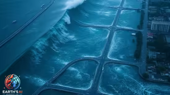
Remote Sensing of Floods with Sentinel-2 and Earth Engine
Flood Mapping and Monitoring Using Sentinel-2 and Google Earth Engine (GEE)
What you'll learn
Understand the fundamentals of remote sensing and how it applies to flood detection.
Gain hands-on experience with Google Earth Engine for analyzing geospatial data.
Detect and map flooded areas using Sentinel-2 satellite imagery and NDWI index.
Export processed flood masks as GeoTIFF files for further use in GIS platforms.
Requirements
No prior experience with Google Earth Engine is required — the course will guide you step-by-step.
Description
This technical course is designed for environmental scientists, GIS professionals, researchers, and students who want to build expertise in satellite-based flood monitoring using Sentinel-2 and the Google Earth Engine (GEE) platform. The course combines theoretical knowledge with hands-on practice to develop a deep understanding of remote sensing applications in flood detection and mapping.
You will begin by exploring the fundamentals of optical remote sensing, including how satellite sensors like Sentinel-2 capture Earth's surface data in multiple spectral bands. Special focus is given to bands B3 (green), B8 (near-infrared), and indices such as NDWI (Normalized Difference Water Index), which are crucial for detecting surface water and differentiating flooded areas.
The course then introduces GEE, a cloud-based geospatial processing platform that allows for rapid access and analysis of satellite imagery without the need for downloading large datasets. You will learn how to create composites, apply spectral indices, detect changes between pre-flood and post-flood periods, and export flood maps as GeoTIFFs for further use.Using real-world case studies like the 2023 flood event in Bangladesh, you'll implement flood detection algorithms using Sentinel-2 surface reflectance imagery.
You will learn how to set cloud filters, clip areas of interest, and define threshold-based water classification rules to isolate flooded regions effectively.By the end of the course, you will be able to independently design, implement, and visualize flood monitoring projects using freely available satellite data and open-source tools—skills that are in high demand in both academic and disaster response sectors.
Who this course is for
Students, researchers and professionals in agriculture, environmental science, geography, or remote sensing looking to apply satellite data in real-world scenarios.
Published 7/2025
MP4 | Video: h264, 1280x720 | Audio: AAC, 44.1 KHz, 2 Ch
Language: English | Duration: 1h 4m | Size: 423 MB
Download
*