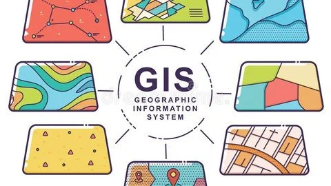
Fundamentals of GIS and ArcGIS course
12 ESSENTIAL MODULES
What you'll learn
ArcGIS(ArcMap, ArcCatalog)
fundamentals of GIS
basic spatial analysis
theory and practice
tests
georeferencing
map projection and coordinate systems
raster and vector operations
map presentation and data visualization
spatial analysis
spatial and attribute queries
interpolation methods
Remote sensing indices in ArcGIS: NDVI, NDWI, MNDWI,NDBI, UBI
change detection of land surface
Requirements
ArcGIS Desktop
PC or laptop
high internet speed
Description
You want to learn GIS but do not know how to start? Youtube videos look vary vague and not structured for you?Books seem to be boring and expensive? You want to understand both theory and practice and want to apply your GIS skills ASAP? You want to start a new career as a GIS specialist from the scratch? Then this course is for you! I am a GIS specilaist and a teacher in university. I teach both bachelors and master students and sometimes consult PhD students with their thesis work. During my pedagogical career I understood what troubles students have during learning of ArcGIS and what knowledge gaps they have after finishing the course. I developed my own methodology of teaching. The major advantage of my course comparing to others is that it provides simple and structured knowledge for understanding fundemantals of geoinformatics and spatial analysis in ArcGIS Desktop.
The course is well structured. First, we will start from ArcCatalog and why we need it? Then, from the second module we will start learning ArcMap - core software in ArcGIS platform. Until the end of the course you will understand the difference between vector and raster datasets, making attribute and spatial selections, creating vector datasets, changing the coordinate system, operating with raster and vector tools, calculating slope and aspect of a terrain, applying various methods of interpolation, putting legend and other map elements for your final output and many many more. In addition to basic GIS, Module 12 is dedicated to fundamentals if remote sensing theory and application of vegetation, urban and water indices in ArcGIS.
Each module contain lecture videos and tutorial videos. At the end of the module you will have to answer quiz regarding both theory and practice. You will have the possibility to download all documents (spatial datasets, arcmap documents, tutorial text doucments) and fulfill the tasks step-by-step with me just watching the video.
I hope that my course will be extremely helpful to you. I will upload new videos and documents and will constantly work on improving the course material.
Who this course is for
beginners
bachelor student
master student
curious about GIS
curious about spatial analysis
MP4 | Video: h264, 1280x720 | Audio: AAC, 44.1 KHz
Language: English | Size: 7.65 GB | Duration: 12h 58m
Download
http://s19.alxa.net/one/2024/05/Fun...GIS.course.rar