Dassault Systemes GEOVIA Surpac 2021 v7.4.24655
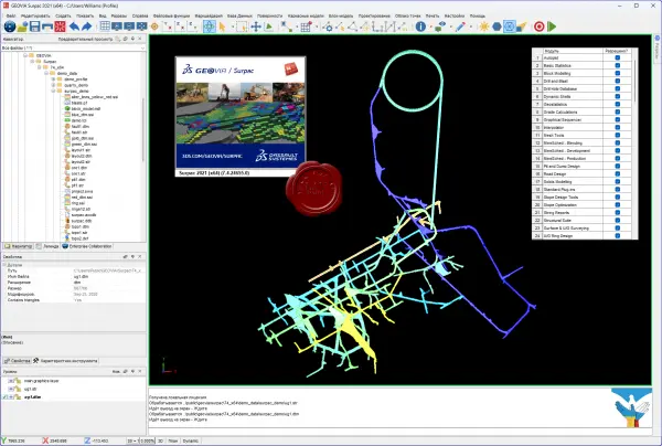
Gemcom Surpac is the leading software for exploration and mining operations. The graphical interface is developed in Java. Using an advanced information processing structure, Gemcom Surpac makes it possible to work with data from other software products and objects created using most mining, geological and geoinformation programs.
Geological module
The basis of the geological module is a database of exploration workings. The geological module provides the user with the following capabilities:
entering data from exploration drilling logs;
editing geological data on wells, updating the database with laboratory test results;
integration of well data with graphical constructions;
manipulation of data on exploration wells (simple and complex recalculations, data compositing, etc.);
data processing using the method of classical statistical analysis of geological exploration information (based on sampling data) with printing of histograms, tables and the results of their analysis;
full geostatistical analysis of any three-dimensional data, including calculation and modeling of variograms, variability maps and assessment of spatial anisotropy of mineralization;
calculation of reserves using various methods (method of geological sections within volumetric models, using block models, etc.);
editing and modernization of graphical and mathematical geological models.
Module for processing surveying data and drilling and drilling systems
This module provides the user with the following capabilities:
processing of manual survey data (theodolite traverse, etc.);
input and processing of data from digital surveying instruments;
construction of actual mining contours based on survey data;
generation of production reports;
visualization of mining operations, issuance of graphic documentation;
design of blasthole networks, including delineating inclined wells, auto-numbering of wells, loading them into the database.
Volumetric and block modeling
This module provides the user with the following capabilities:
the ability to build triangulation models of any objects and surfaces;
the presence of developed tools for creating parallel sections and intersecting polylines in wireframe models, as well as editing tools (addition, subtraction, intersection, changing the triangulation network);
construction and modernization of block models with a given size of elementary blocks and interpolation of contents in elementary blocks of models.
Optimization and planning module
This module provides the user with the following capabilities:
the ability to develop a long-term plan for open-pit mining and create reporting documents;
the ability to solve problems of optimizing the final contours of a quarry, the stages of its development and the calendar plan of a mining enterprise;
possibility of detailed quarry design;
the ability to develop and adjust an operational plan for open-pit mining using simulation modeling of the operation of transport and loading complexes;
visualization of the mining plan, issuance of graphic documentation;
integration of the mining planning module with modules for servicing mining equipment, logistics, and financial module;
the ability to create and maintain a grid of technological (user) coordinates.
File Size: 711 MB
Download
http://s19.alxa.net/one/2024/04/Das...v7.4.24655.rar
