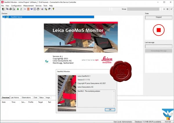
Leica GeoMoS Monitor v8.1.1.113
Leica GeoMoS is a flexible, integrated professional solution that meets all modern requirements for monitoring systems and provides the necessary responsiveness in decision making. The Leica GeoMoS family of software products are highly adaptable to the specific needs of any user thanks to scalability, add-on components and various types of licenses. The complete monitoring solution provides high accuracy and reliability and is suitable for both short and long term projects.
Leica GeoMoS supports connection to any sensors and software from Leica Geosystems or third parties. Flexible communication options enable efficient sensor connection and management, as well as instant data storage and analysis. The Leica GeoMoS software interface allows data exchange between GeoMoS and the customer's own system. Automating the transmission of streaming data using a variety of open standards allows you to easily and efficiently integrate any sensors. GeoMoS Monitor provides a continuous measurement cycle according to the sensor usage plan and can store all important data in one relational database.
Built-in outlier detection, data validation, filtering, and automatic remeasurements ensure accurate and reliable collection of survey, geotechnical, environmental, and any other sensor data. If the results of a critical limit test or the current state of the system require intervention, then a corresponding notification is sent to all responsible persons in a timely manner using various means of communication (e-mail, SMS and alarm system). Complex mathematical calculations, as well as a combination of observations from various sensors, ensure high monitoring reliability.
Leica GeoMoS Imaging is an extension module for an existing GeoMoS solution. This remote monitoring technology provides graphical information for documentation, inspections and troubleshooting. The real-time sighting system is controlled by a manipulator and allows for continuous recording as part of project monitoring. This helps employees work more efficiently and provides the information they need to make accurate decisions quickly.
Powerful, versatile and customizable GeoMoS Now! provides access to results anytime, anywhere. It can be installed both locally and in the cloud. Get accurate and timely reports on the status of projects. Easy customization of graphs, images, maps, tables and strain measurements does not require special knowledge of web design. Add external links to your project or use GeoMoS Now! The programming interface allows you to securely post information about the project on any third-party web page. In addition, it allows you to share a project view with multiple users and send customized reports to an unlimited number of recipients.
Size: 854 MB
Download
http://s6.alxa.net/one/2022/08/Leic...v8.1.1.113.rar