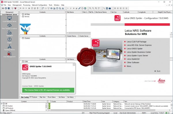
Leica Hexagon Spider Suite v7.8.0.9445
The Leica Spider software package is a GNSS infrastructure solution that provides easy access to all available satellite navigation data from a single, easy-to-use interface. With it, field teams and their colleagues in the office will be able to work more efficiently.
You will be able to work most efficiently when all the data is displayed in one view and can be accessed from anywhere in the world at any time. The Spider software solution is suitable for any task and application, as it supports all satellite systems, all types of sensors and all standards, helping you to run your business successfully.
Spider Software Suite is the first web-based service management solution for real-time and post-processing data. Spider Software Suite applications are now available to operators and users from anywhere in the world at any time.
With support for open standards, the Spider software package is compatible with all GNSS receivers and can transmit correction data to all rover models.
The Leica Spider Business Center solution integrates everything you need to efficiently operate your infrastructure, including user management and access control, network and rover status monitoring. It provides users with access to information about the state of the equipment and post-processing services.
Advantages:
Efficient and safe: Focus on what you do best.
Ease of working both locally and remotely.
Reduce infrastructure and technical support costs.
Investment protection thanks to the ability to upgrade and expand the solution.
GNSS solution for the future.
Spider is an extremely flexible GNSS infrastructure management platform. In addition, Spider Suite solutions can be used to manage large seismic networks and real-time operational monitoring of critical infrastructure such as buildings, bridges, mines or airports. The modular architecture of the platform is easily scalable according to the needs and budget of the customer.
The GNSS Spider software allows you to provide correction data using the method, data format and communication channel most suitable for your clients (rovers). This expands the base of potential customers. For optimal compatibility with your customers' systems, various industry standard formats (such as RTCM) and technologies (such as Ntrip) are supported.
The solution is suitable for various fields, including surveying, asset data collection, equipment management and precision agriculture, as it can realize positioning with different levels of accuracy, in a few seconds determining coordinates with a tolerance of several decimeters to centimeters.
The Spider Positioning module receives data in continuous streaming or periodic mode. It automatically continuously calculates station coordinates both in real time and in post-processing data. The field-proven monitoring algorithms in the Spider Positioning module provide excellent accuracy and reliability even when using single frequency receivers. The results obtained by the Spider Positioning module can be conveniently analyzed using Leica SpiderQC and Leica GeoMoS solutions. They can be accessed online using Leica SpiderWeb.
Size: 2.72 GB
Download
http://s6.alxa.net/one/2022/08/Leic...Suite.v7.8.rar
