Advanced UAV Photogrammetry - Part 1 - Planning and Execution - 2019
It is a Drone Mapping Tutorial. Master image acquisition, flight planning and learn all about GCPs from a professional surveyor!

It is a Drone Mapping Tutorial. Master image acquisition, flight planning and learn all about GCPs from a professional surveyor!

Code:
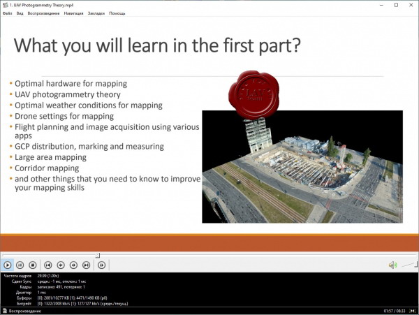
- Recommended equipment for UAV Photogrammetry.
- Optimal camera and drone settings for image acquisition.
- Optimal GCP distribution, marking and measurement.
- Planning and execution of UAV Photogrammetry missions in various apps.
- Planning the flight boundary in KML file.
- UAV Photogrammetry theory.
- Planning the location of GCPs (Ground Control Points).
- Calculation of GCP’s elevation coordinate in relation to the existing survey marks.
- Various image acquisition plans.