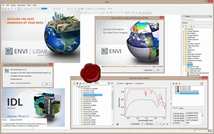
Exelis ENVI v5.3, IDL v8.5, LiDAR v5.3
ENVI LiDAR is an interactive geospatial software environment that lets you create realistic 3D visualizations and easily extract important features and products from raw LiDAR point cloud data. The elevation information contained within LiDAR can be used to create Digital Elevation Models or be included in your geospatial products like line-of-sight or right-of way analyses. ENVI LiDAR can also be customized with the API to meet the unique needs of your organization.
x64Bit
Size: 1.78 GB
Download
http://s19.alxa.net/s8/srvs7/01/001/E...R.v5.3.x64.rar
