Geoscan Sputnik GIS v1.4.11208
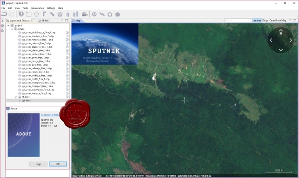
GIS Sputnik - specialized software for solving problems of geodesy, mine surveying and urban planning. The system provides professionals with a flexible set of tools for solving narrow industry problems in a full three-dimensional environment. GIS Satellite is an effective tool for visualization and analysis of heterogeneous spatial data. In the free version, the functions of viewing and three-dimensional analysis of point clouds, orthophotoplans, height matrices, 3D models, raster and vector maps are available. The software complies with the requirements of the voluntary certification system for surveying software. Certificate Number: СДС-ПО.RU.2018.С.0022
258MB
*
GIS Sputnik - specialized software for solving problems of geodesy, mine surveying and urban planning. The system provides professionals with a flexible set of tools for solving narrow industry problems in a full three-dimensional environment. GIS Satellite is an effective tool for visualization and analysis of heterogeneous spatial data. In the free version, the functions of viewing and three-dimensional analysis of point clouds, orthophotoplans, height matrices, 3D models, raster and vector maps are available. The software complies with the requirements of the voluntary certification system for surveying software. Certificate Number: СДС-ПО.RU.2018.С.0022
258MB
*
