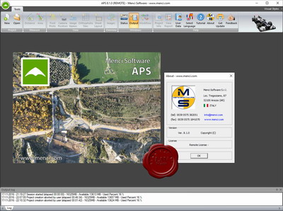
Menci Software APS v8.1.0
Menci provides different software tools for different applications and contexts. APS is a photogrammetric software suite with high performance for the big production of aerial cartographic data starting from small and medium format digital images acquired by UAV drone.
StereoCAD: stereoscopic CAD for drone images, to 3D inspection and plotting.
TerrainTools: professional DEM editor tool set, for volume, profiles and advanced DSM/DTM analysis.
APSCheck: fastpost-flight dataset checker.
OPK - Large Format: photogrammetric software suite for large format images from aerial cameras and satellite processing
