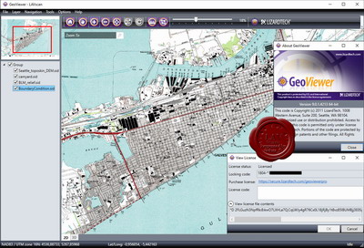
LizardTech GeoViewer Professional v9.0.1.4213
GeoViewer - utility for viewing high-quality satellite images of Earth, containing vector layers, the MrSID files and JPEG2000. GeoViewer also supports the display and export layers from diverse sources of local, catalogs Express Server, JPIP and WMS servers. The program is compatible with a variety of input formats and export data in formats GeoTIFF, PNG and JPEG. This is the best way to view MrSID and JPEG2000 image raster formats