CompeGPS Land v7.7.2
Land is the ideal software to prepare, analyse and complement your itineraries with all kinds of information. Create unlimited tracks, routes and waypoints, conveniently analysed at home in graphs, datapages, tables... In addition, Land offers you the possibility of simulating your itineraries with 3D views, using your own maps.
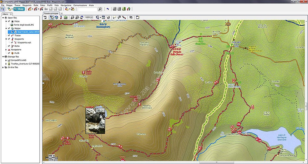
Create and edit tracks/routes
With Land software you can prepare your trips in detail at home. Once you have planned your route, send the content to your GPS device or smartphone easily.
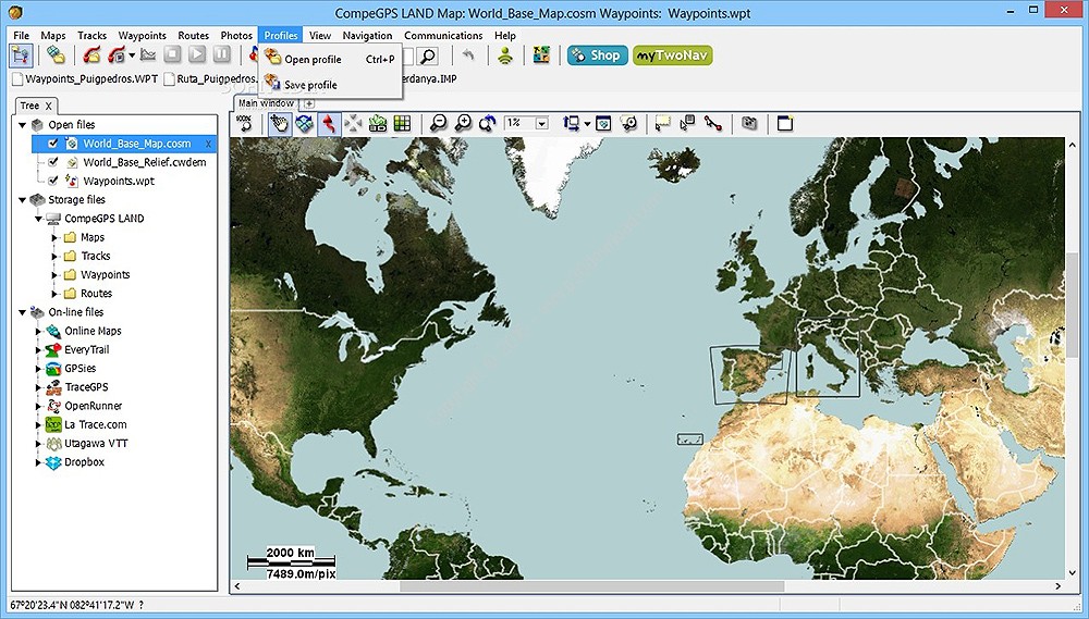
COMPATIBILITY WITH A HOST OF MAPS
Use Land software to open maps of any kind (topographical, vector, scanned, orthophoto maps and more), or even calibrate your own paper maps.
Extensive content accessible online
Access high-quality online maps (Open Street Maps, Open Cycle Maps, Mapquest, Mapnik, Google Maps and more) and routes from top online patforms (Everytrail, GPSies, UtagawaVTT, TraceGPS...). Find yourself the perfect route for your next trip.
Create multimedia guides for your GPS
Design your own e-Roadbook including all kinds of information about your route: add photographs, descriptions, links and even the coordinates of the most important places.
Full analysis of saved data
View the route you took on the map, study the height difference graphic and a host of other data, including distance, average speed and heart rate. You can also synchronise the photos you take during the route to the exact point on the track where you took them. Remember you can also share the route with your friends via e-mail or social networks, or else save it in your Dropbox account
35.9MB
Download
*